
What You Might Like to Know About Our Company
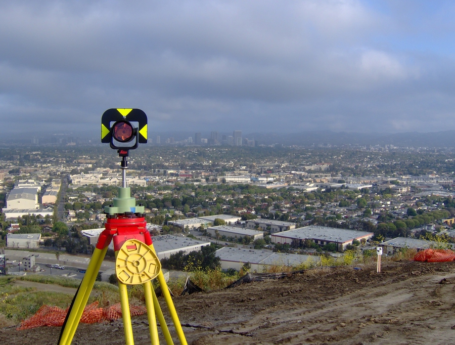
Land surveying is the science, profession and art of making accurate measurements to determine the relative three-dimensional position of
points and/or physical and cultural details above, on, or beneath the surface of the Earth, and to depict them in a usable form. To provide this crucial information CenterGeo possess extensive
theoretical knowledge and practical experience in traditional surveying engineering, geodesy, digital mapping, global positioning systems, 3D laser scanning, aerial photogrammetry, and stay at the
forefront of the latest advances in surveying technology.
Founded in 2006 we are a geomatics engineering firm, offering innovative global solutions through consulting and surveying engineering services with our cutting-edge measurement technology. Our expertise and solutions focus on projects requiring accurate, dependable, high-quality and cost-effective, deliverables. We have broad knowledge in coordinating survey services for large-scale projects for state agencies, local jurisdictions, and major private developments in Southern California. Our experiences include preparation of ALTA surveys, topographic and design surveys, Geodetic and Terrestrial control surveys, subdivision engineering, 3D High-Definition Laser Surveying and spatial mapping for commercial, residential, industrial, and educational facilities.